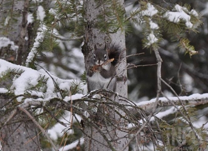
Lots more snow coming to Okanagan, Kamloops
There's some light at the far end of the long winter tunnel that Kamloops and the Okanagan are suddenly facing but relief is still a ways off. “I am looking forward to some nice quiet weather,” Environment Canada meteorologist Alyssa Charbonneau told iNFOnews.ca “Eventually,...
 Valandos
0
There's some light at the far end of the long winter tunnel that Kamloops and the Okanagan are suddenly facing but relief is still a ways off.
“I am looking forward to some nice quiet weather,” Environment Canada meteorologist Alyssa Charbonneau told iNFOnews.ca “Eventually, it always does come.”
The heavy snowfall throughout the region today, Jan. 17, will ease only briefly later tonight and into Thursday.
“It does look like we are going to be transitioning back into a bit more seasonal conditions after this weekend and going forward,” Charbonneau said. “For the Thompson-Okanagan, it does look like there’s quite a bit more snow in the forecast.”
It's always much tougher to predict precipitation amounts than temperatures but it looks like another 10 to 20 cm of snow could fall in valley bottoms when the next Pacific storm system moves in Thursday night. That snow is likely to accumulate over a two-day period rather than in a single day as is expected today.
Temperatures should rise to near freezing or a bit above during the day but seasonal temperatures for this time of year are still -2 Celsius for daytime highs and -8 C for overnight lows.
The current system is widespread through much of BC, from Vancouver Island through the Kootenays, although the snow did ease up in the Central Interior today.
The next system is also forecast to be widespread with at least some flurries expected every day for the next week or so.
“This isn’t unusual to be seeing snow in the region in January and snowfall warnings,” Charbonneau said. “This is our winter weather.”
READ MORE:Kamloops, Okanagan temperature records not threatened by cold snap
https://infotel.ca/newsitem/kamloops-okanagan-temperature-records-not-threatened-by-cold-snap/it102621
While a strong El Nino weather pattern contributed to a warm start to winter – and the long-range forecast is still for a warmer than normal winter for the region – that doesn’t mean it can’t still get hit with more Arctic cold fronts well into February.
To contact a reporter for this story, email Rob Munro
mailto:rmunro@infonews.ca
or call 250-808-0143 or email the editor
mailto:news@infonews.ca
. You can also submit
http://tips@infonews.ca
photos, videos or news tips to the newsroom
mailto:tips@infonews.ca
and be entered to win a monthly prize draw.
We welcome your comments and opinions on our stories but play nice. We won't censor or delete comments unless they contain off-topic statements or links, unnecessary vulgarity, false facts, spam or obviously fake profiles. If you have any concerns about what you see in comments, email the editor in the link above. SUBSCRIBE to our awesome newsletter here
https://infotel.ca/newsletter
.